The NASA-ISRO Synthetic Aperture Radar (NISAR), an Indo-US joint space venture, is systematically imaging the Indian landmass across different microwave bands to deliver high-resolution, wide-swath data every 12 days.
“This data has been effectively utilised to demonstrate the generation of soil-moisture products at a high resolution of 100 meters. Being a key indicator of crop health, irrigation need, and drought risk, soil moisture plays a vital role in India’s agriculture and water management,” the Indian Space Research Organisation (ISRO) said on Saturday.
The soil-moisture products, demonstrated using both ‘S’ and ‘L’ band data, provide consistent estimates across India’s diverse agro-climatic regions from irrigated plains and rain-fed farmlands to semi-arid and high-rainfall zones, the space agency added.
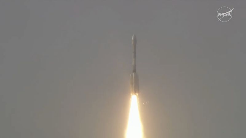
The physics-based soil moisture retrieval algorithm, developed at ISRO’s Space Applications Centre, Ahmedabad, ensures scientific robustness, reliability, and operational accuracy. The satellite, said to be the most advanced in its category, was launched by ISRO on July 30 from Sriharikota.
With the ability to deliver two observations every 12 days, NISAR enables near real-time tracking of soil moisture dynamics. This frequent monitoring supports irrigation planning, drought preparedness, agro-meteorological advisories, and regional water resource management at scales relevant to districts and farming communities, ISRO said.
To support national operations, the 100-meter Level-4 operational soil moisture products, with two observations every 12 days, will be systematically generated at the National Remote Sensing Centre, Hyderabad, and disseminated through the Bhoonidhi Portal, ensuring seamless access for farmers, planners, researchers, government agencies, and Non-Government Entities across the country.
ISRO on Saturday also released some maps illustrating multiple full-swath 100-meter ‘L’ and ‘S’ band soil moisture products over various agro-climatic regions of India to depict consistent large-scale wetness patterns suitable for national agricultural and hydrological monitoring.
Western India shows semi-arid moisture stress conditions, Northern India, including the Indo-Gangetic Plains show irrigation-driven variability, whereas Central India reveals rainfed agricultural zones. These results collectively confirm the operational readiness, scalability, and reliability of NISAR’s soil moisture products for nationwide applications.
The results also highlight the complementary strengths of the two ‘L’ and ‘S’ band frequencies of NISAR for reliable operational soil moisture retrieval. While L-band enables deeper penetration and improved sensitivity under vegetation and crop cover, S-band provides enhanced surface sensitivity and finer spatial detail.
“These advantages pave the way for more robust combined dual-frequency-based products across varied agricultural landscapes,” ISRO said.
These preliminary products are undergoing systematic evaluation over core soil moisture calibration/validation sites across India, representing diverse soil textures, rainfall regimes, and cropping systems.
“Ground measurements using in-situ soil moisture sensors and stations are employed to refine accuracy and ensure confidence for operational deployment. Further developments for finer resolution field-scale soil moisture products are in progress to capture sub-field moisture dynamics,” the space agency said.